
Motorway, dual carriageway, national road with four lanes: the Spanish road network overlaps categories that signage does not always clarify. For a French driver crossing the border, the question quickly arises: which road is free, which is not, and how to know before committing to an exit ramp? The answers lie in a few prefixes, the color of the signs, and a regulatory context that is evolving rapidly.
Motorway and dual carriageway: what the prefixes reveal about tolls
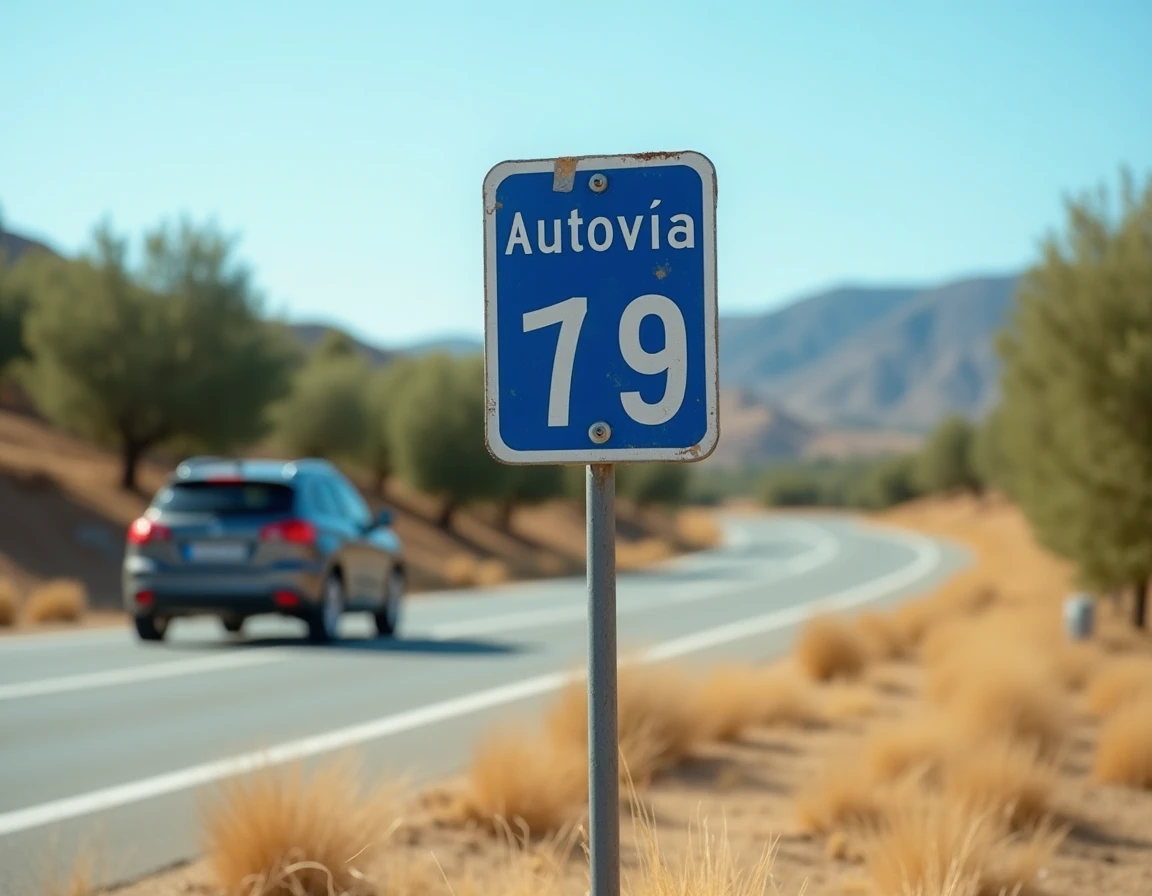
The Spanish system distinguishes between two types of fast roads. Autopistas (prefix AP) are concessioned motorways, historically toll roads. Autovías (prefix A) are free expressways, funded by the state.
Read also : How to Contact UPS for a Package Held in Customs: Steps and Practical Tips
This distinction is directly visible on signs and maps. A road numbered AP-7, AP-2, or AP-68 indicates a concession, hence a possible toll. A road numbered A-7, A-2, or A-3 is an autovía, free by default.
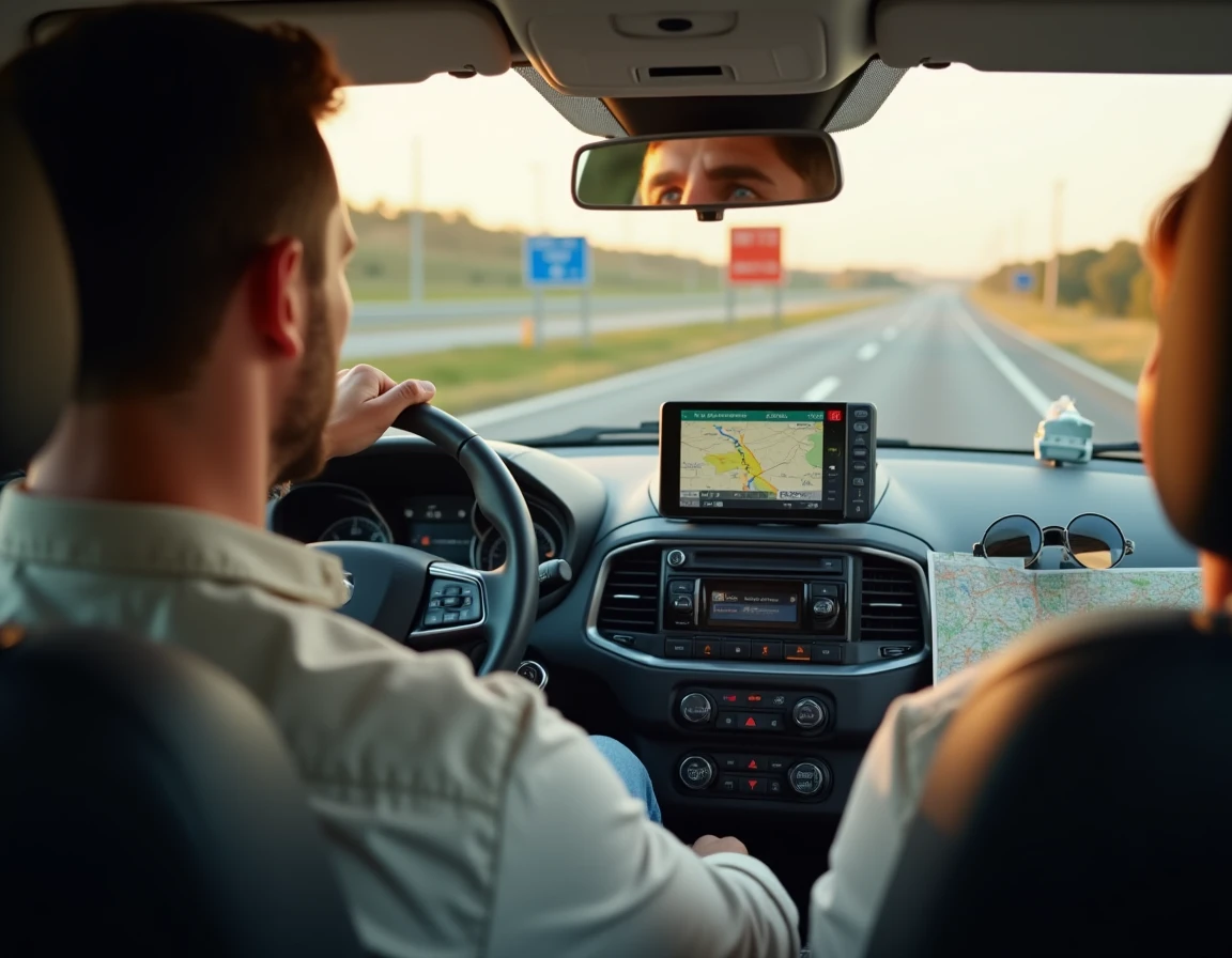
Knowing how to recognize free Spanish motorways primarily relies on this reflex: check the prefix before following a directional indication. GPS devices do not always clearly display the nature of the road, and a “fastest route” itinerary often switches to a toll autopista without explicit warning.
Recommended read : Discover how to easily pay for your Opodo trips in installments
| Criterion | Motorway (AP) | Dual Carriageway (A) |
|---|---|---|
| Prefix | AP + number (e.g., AP-7) | A + number (e.g., A-7) |
| Toll | Yes (except recently freed sections) | No |
| Sign color | Blue with “peaje” indication | Blue or green, without toll mention |
| Maximum speed | 120 km/h | 120 km/h |
| Estimated total network | Several thousand km | About 9,000 km across the country |
AP-7 and AP-2 free: a temporary situation to watch
The Spanish state has taken over the management of several autopistas upon the expiration of their concessions. The AP-7, from the French border to Andalusia, and the AP-2, from Zaragoza to Barcelona, are the two routes most frequented by French drivers and have become free.
This free status has measurable effects. According to Le Monde, total traffic has increased by about 40% on certain sections of the AP-2 and AP-7. Heavy vehicle traffic has surged by about 80%, with up to 108,000 vehicles per day near Tarragona.
The accelerated deterioration of the roadway resulting from this has led the Barcelona Chamber of Commerce and the RACC to call for the reintroduction of tolls. The European Union, since 2024, requires member states to apply the “polluter pays” principle for motorway maintenance. The current free status of these sections is therefore not guaranteed in the medium term.
Concrete consequences for a summer trip
A driver entering Spain via Le Perthus and taking the AP-7 towards Barcelona is driving on a free motorway, but also on one of the most congested routes in Catalonia. During the summer, slowdowns are frequent between Girona and Tarragona.
The alternative is to switch to the national road N-340 or the autovía A-7 when available in parallel. Travel time increases, but heavy vehicle traffic is less concentrated there.
Common mistakes at the French-Spanish border
The border area is where French drivers most often make mistakes. Three situations frequently arise:
- Following the indication “Barcelona” without checking whether the route passes through a toll section AP or a paid tunnel. Toll and free sections can alternate on the same corridor.
- Confusing the color of the signs: in Spain, blue indicates motorways (paid or free), while green designates national roads. In France, it’s the opposite. This discrepancy leads to missed exits or unintentional commitments to the wrong road.
- Not anticipating residual toll barriers. Some short sections remain concessioned while the rest of the route has become free. Without Spanish toll tags (Via-T), passing through a booth with a credit card or cash is the only option.
Road signage in Spain: visual clues to spot
Beyond the prefix, several visual clues can indicate whether the road is toll-free before committing to it.
The word “peaje” on a blue sign indicates an upcoming toll. This word sometimes appears several kilometers before the barrier, with an indication of the rate or the remaining distance. Its absence on a fast road is a good indicator of free status.
Entrance signs for autopista display a pictogram of a toll barrier. Autovías, on the other hand, do not display any such pictogram. The absence of a “peaje” pictogram confirms a free road.
Setting your GPS to avoid tolls
Most navigation apps (Google Maps, Waze, ViaMichelin) offer an “avoid tolls” option. This option generally works well in Spain, but it may redirect to slow secondary roads while a free autovía exists in parallel.
Manually checking the prefix of the route proposed by the GPS remains the most reliable reflex. If the itinerary shows an AP section without a “free” or “liberated” mention, it is prudent to look for the corresponding autovía (A + same number).
The free status of the AP-7 and AP-2 has simplified trips to Catalonia and the Spanish Levant, but it has also transformed these routes into high-traffic corridors. For a French driver, reading the prefixes and being vigilant about the “peaje” signage remain the two actions that avoid both unpleasant surprises at tolls and lines of trucks on overloaded sections.